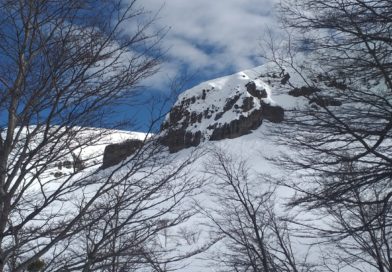
Cota 9 – Cerro Los Arenales
Cota-9 (Cerro Nueve) a.k.a Los Arenales

Local Guides
Previous
Next
Location:
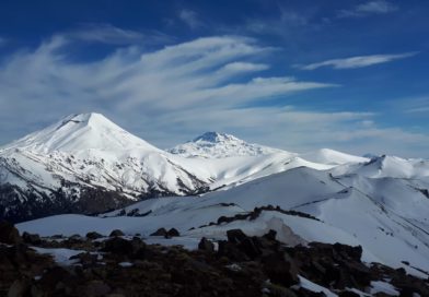
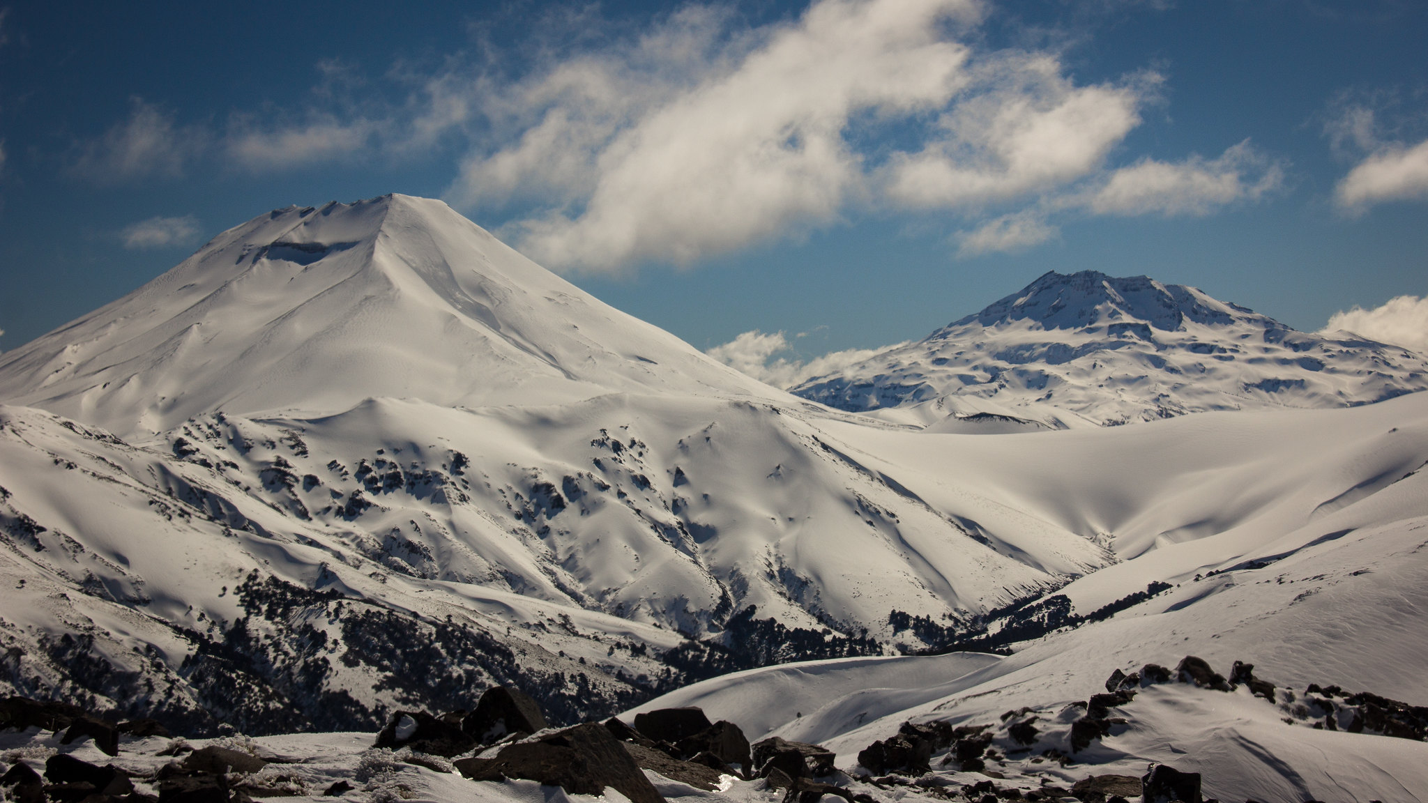
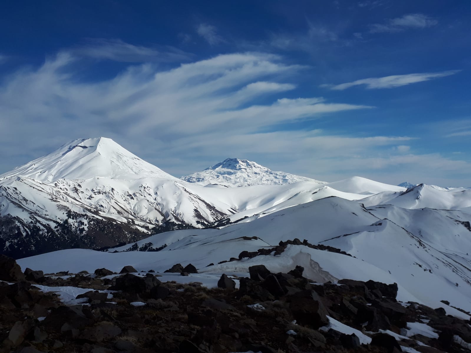
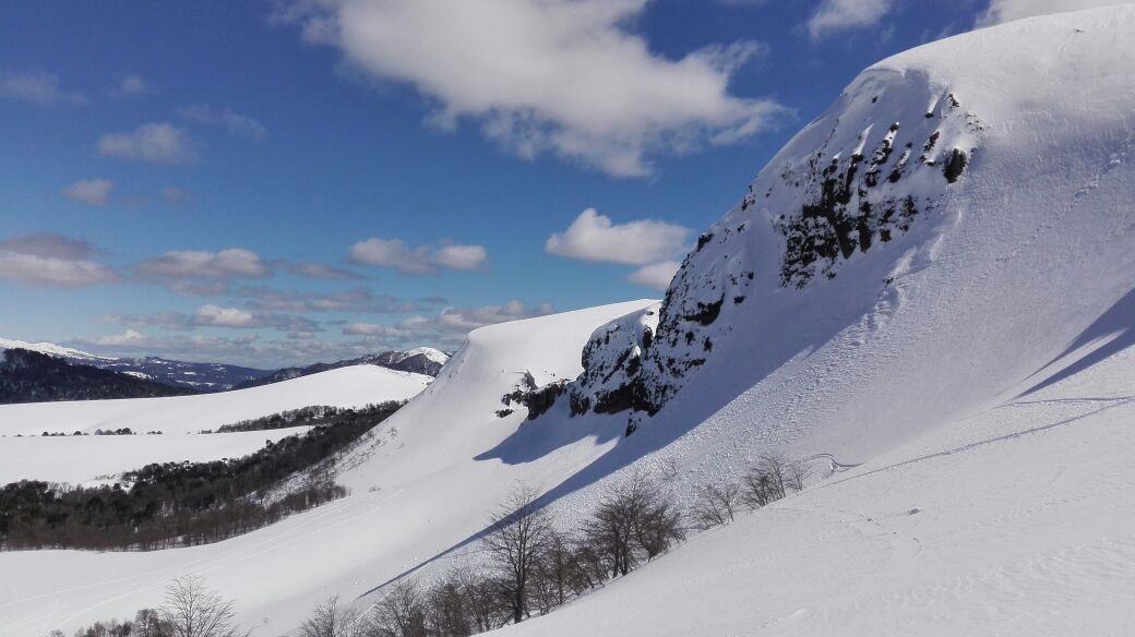
Araucanía Region, Southern Andes. Lonquimay
Elevation:
6482ft (1976m)
Lat/Long:
S -71.464264690876,
W -38.41554756815828
Skiing Aspect:
South
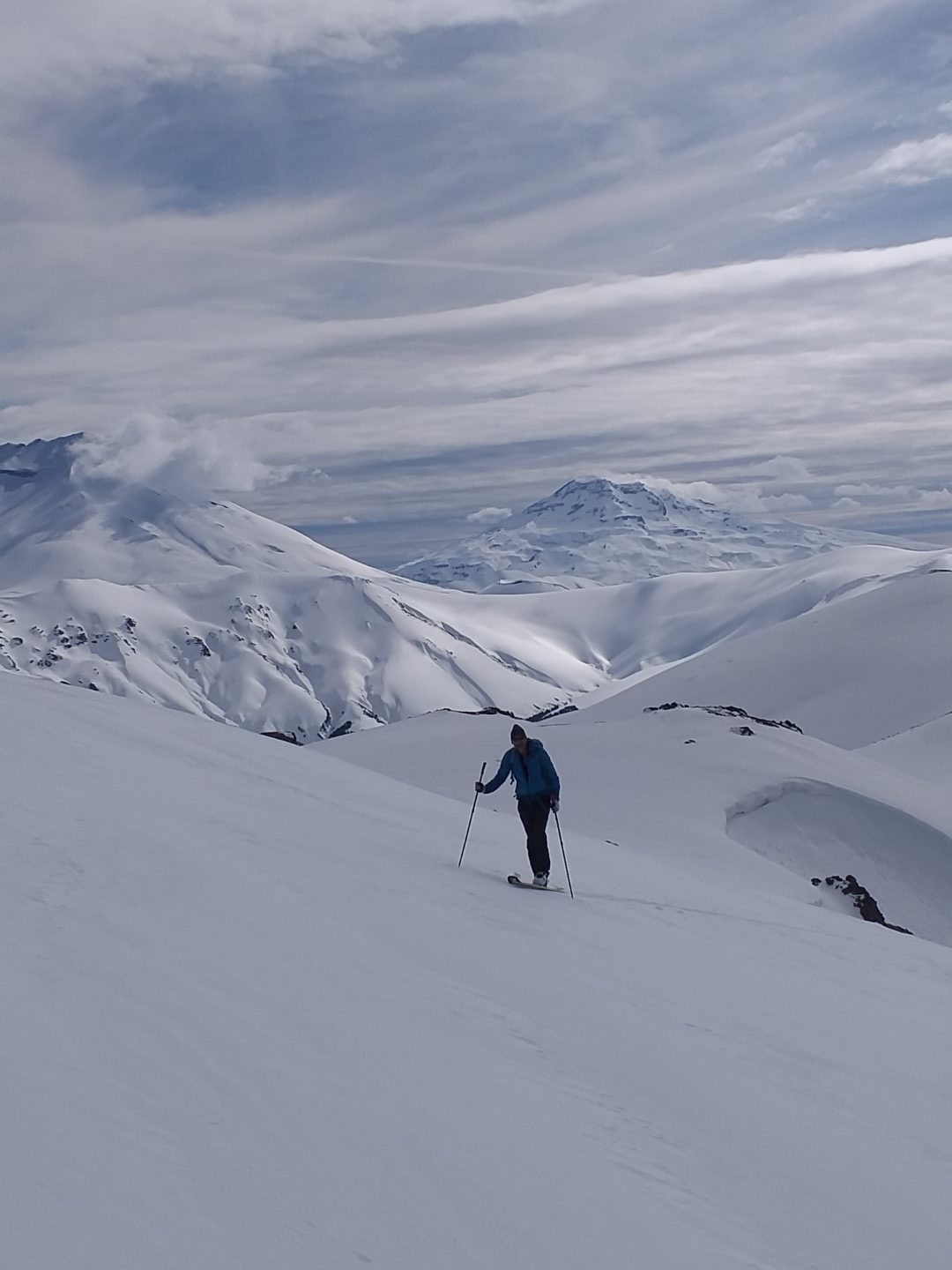
Vertical Skiing:
1335ft (407m)
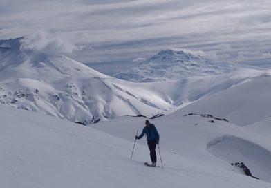
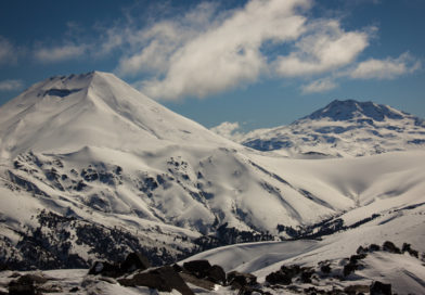
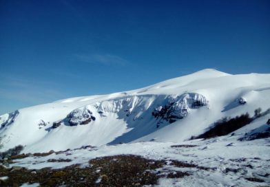
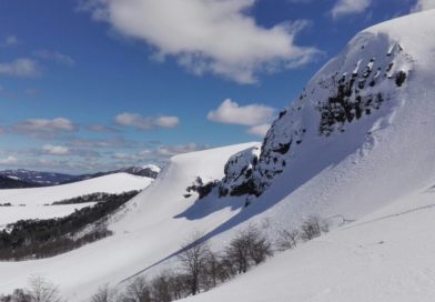
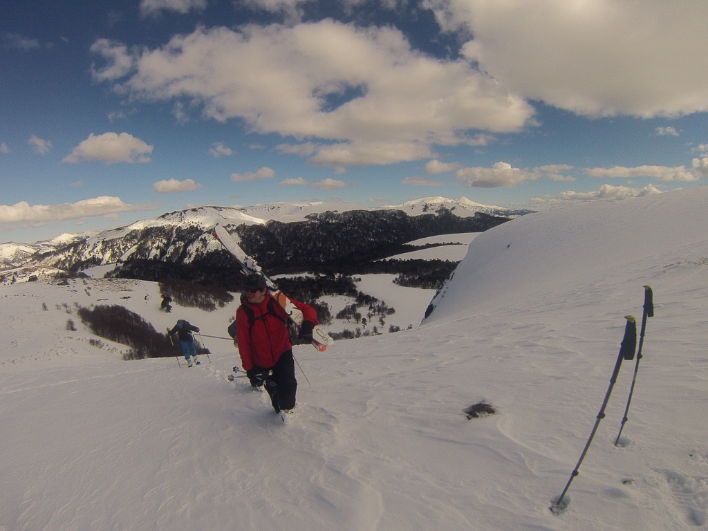
Short Hike To Cota-9, Highest Point Of This Amazing and Peaceful Backcountry Area In the Heart Of The Araucania Indigenous Territory.
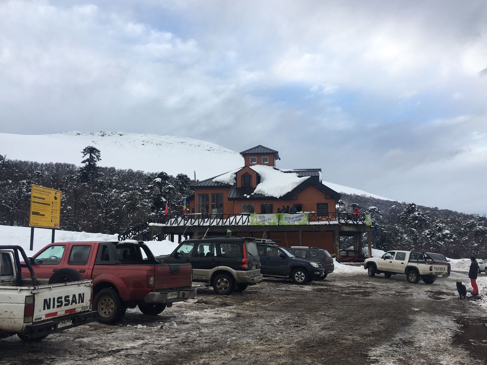
Located only 10 Kms. NW of Lonquimay city. (25-45 minutes depending on road conditions) Los Arenales Ski Area is an incredible place to slow down and observe a different from the usual chilean ski resort scene. 4×4 vehicle is highly recommended, specially after a snowstorm. Always plan ahead and ask your local guide or accommodation place for road conditions. The municipality is very good at keeping the R-89 road clear UP TO LOS ARENALES but it is not possible to connect with Malalcahuello through this road in winter, you will have to return to Lonquimay and cross “Las Raices” tunnel if you are heading back west.
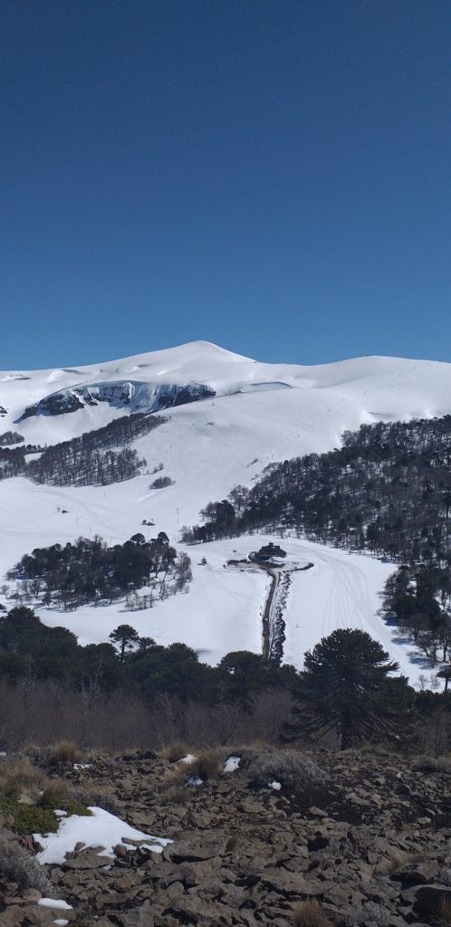
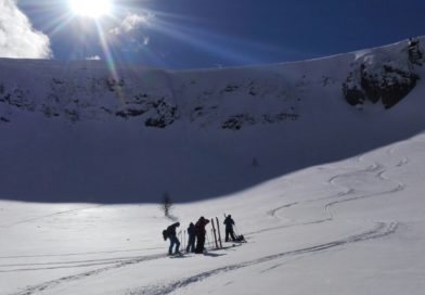
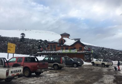
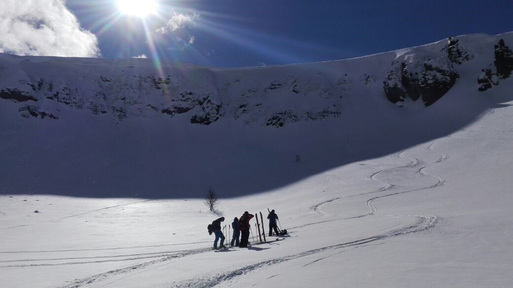
What 2 decades ago used to be a two lifts small ski center visited by people of Araucania and neighboring region is now an incredible and peaceful area where the locals go for ski touring and snowshoeing. On any given day you might see local families and kids of all ages having a blast while sliding down the snow-covered slopes with plastic toboggans. The lodge at the bottom of the hill is managed by an indigenous family that caters all visitors with typical southern food: Sopaipillas (A deep fried dough) with Pebre (A mild spicy sauce made with tomato, onions, red pepper and cilantro) daily lunch, hot chocalate, coffee and other beverages, just get in there and ask for the menu of the day.
When you arrive make sure to tell them (in your best basic Spanish) your plans (Estimated time of return and plans to ski back from Cota-9) as they keep a visitor’s log as instructed by local authorities due to previous incident of missing people (As of 2019).
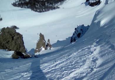
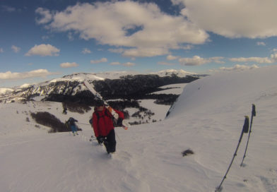
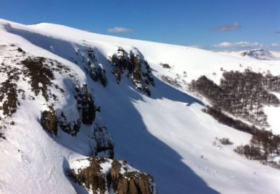
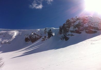
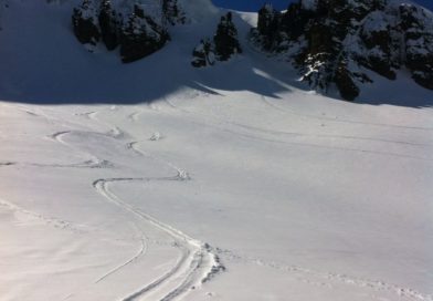
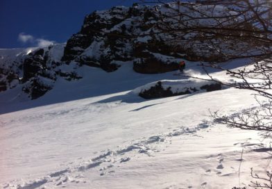
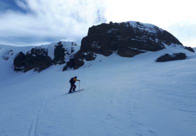
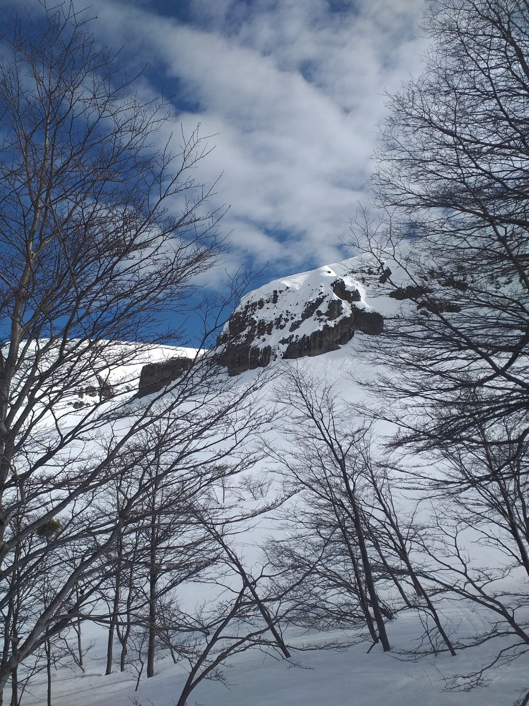
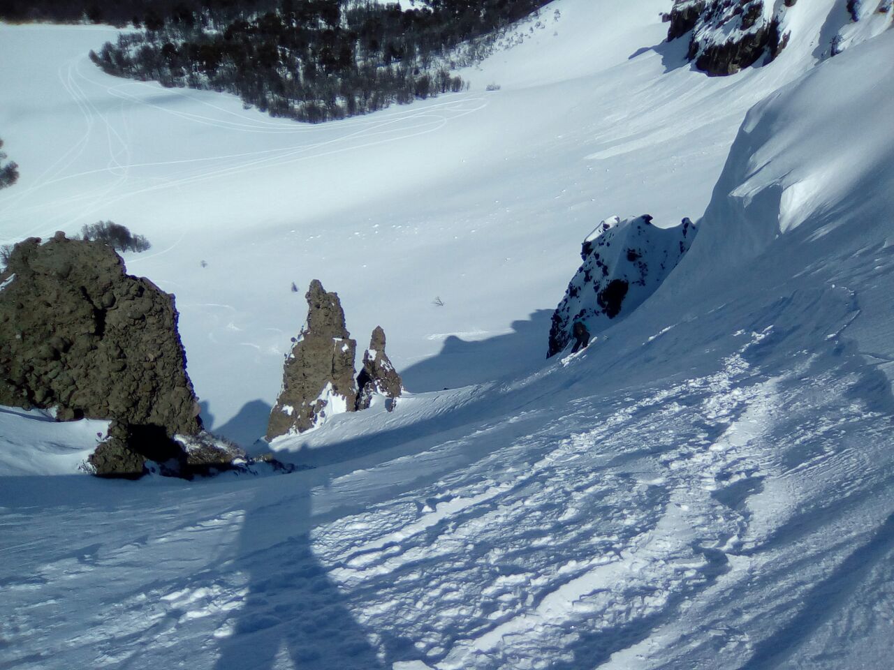
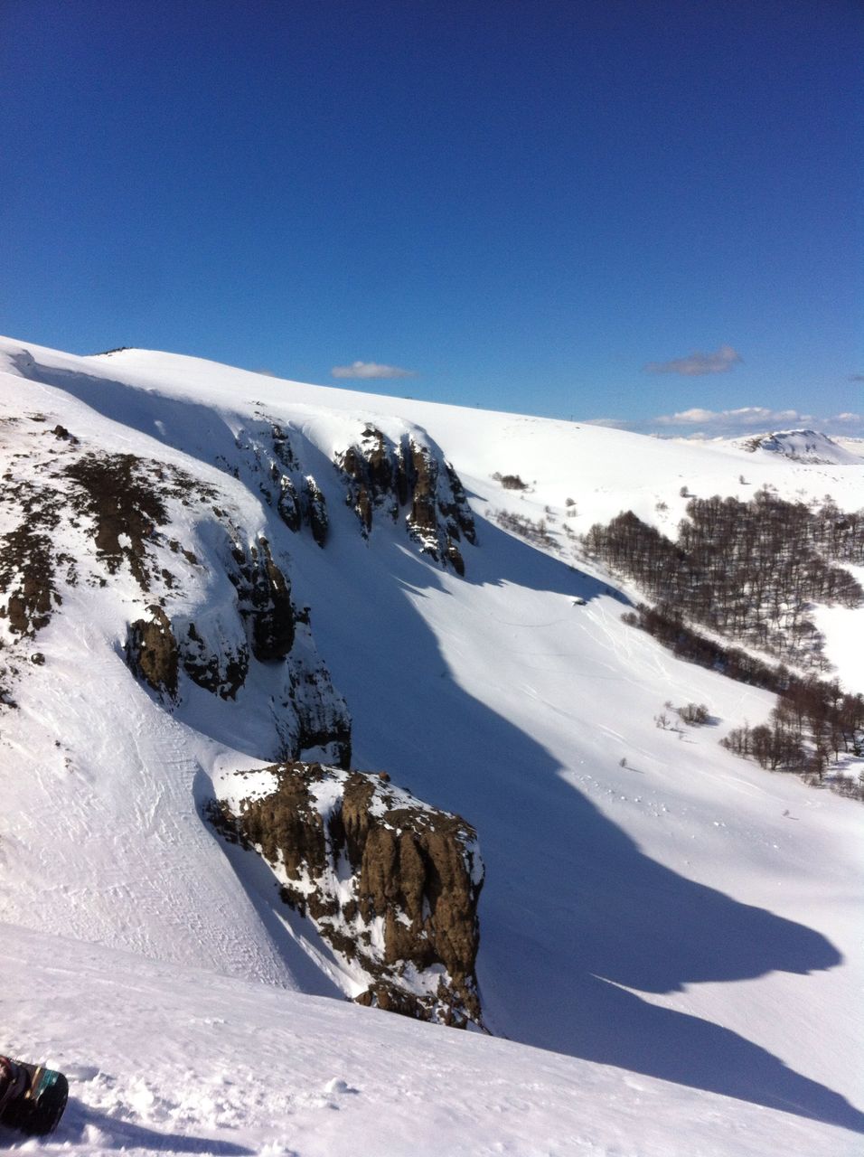
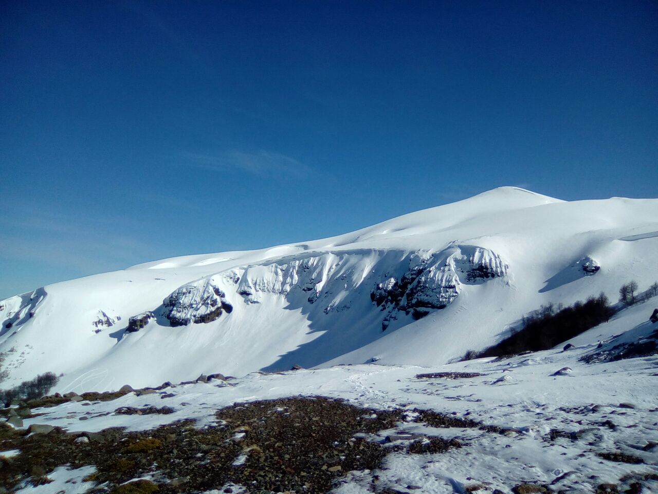
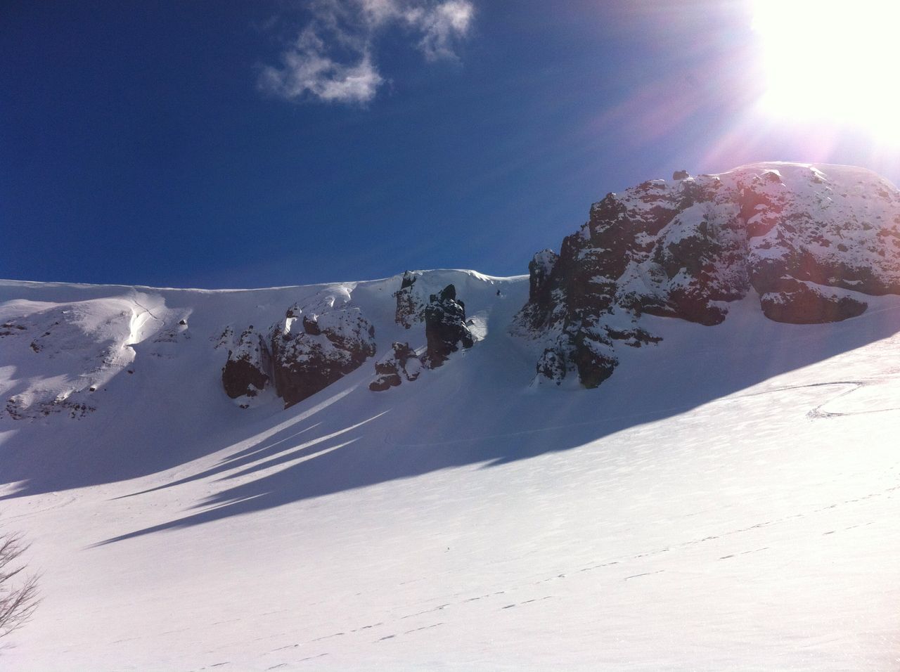
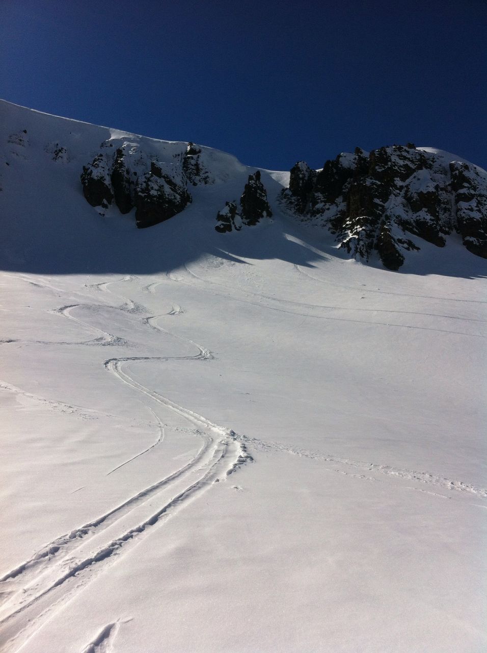
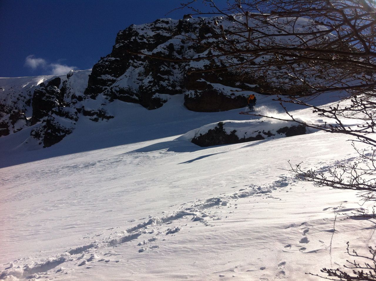
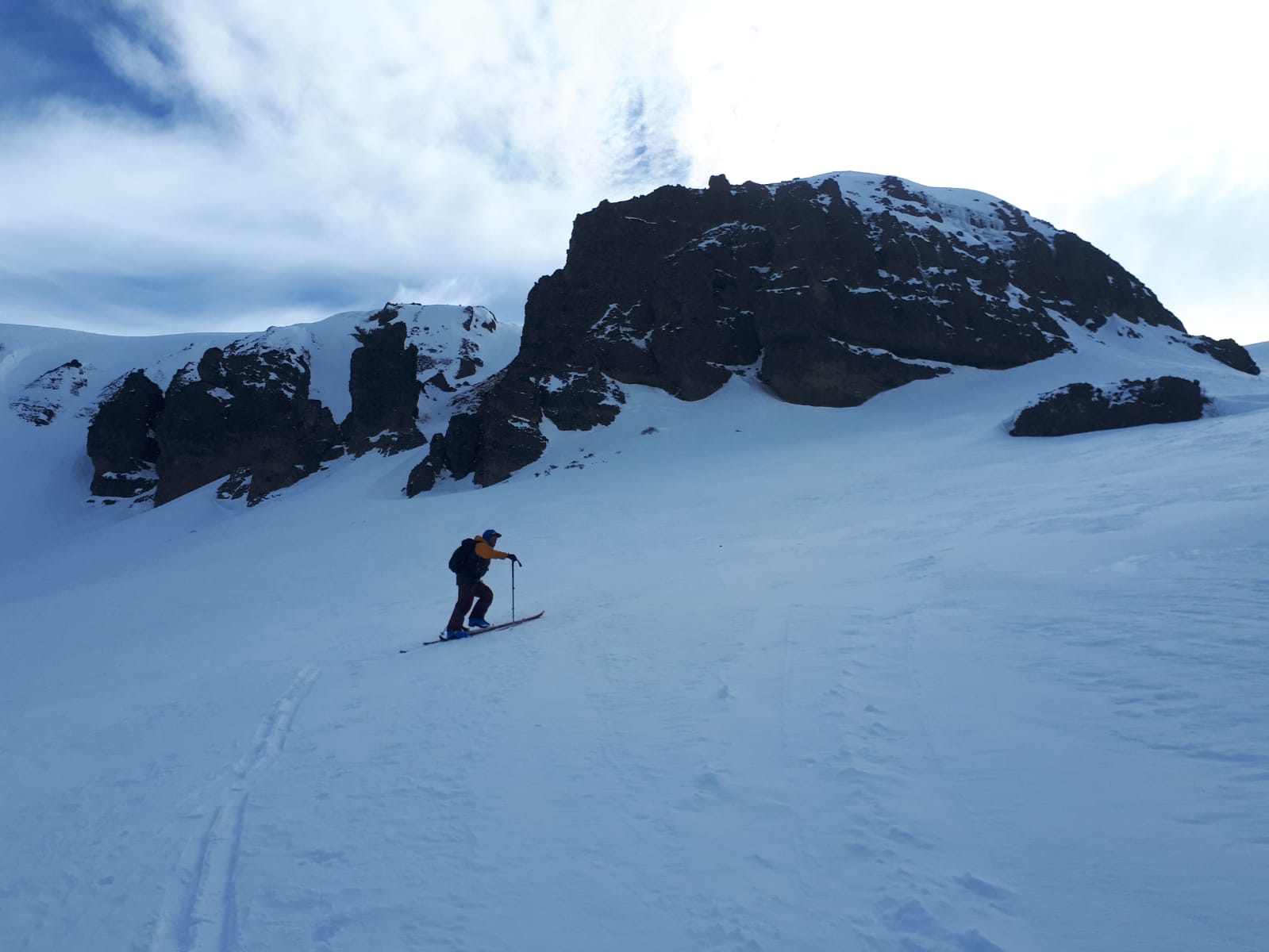
Follow the old lift line by the towers, once you are on the shoulder continue towards the highest peak (Cota-9) to the W-NW. For the descend, this route shows a fun freeride descending towards the south and aiming for a gully on the skiers right side of the cliff band. If you feel like descending in between the cliffs take a good look as you climb and aim for the second flat top above the cliff and pick your line.
Highlights
Easy access to an extremely fun zone with lines from intermediate to expert.