Yate Volcano
Yate Volcano
Location:
Región De Los Lagos
Elevation:
7175ft (2187m)
Lat/Long:
S -41.75895591250358, W -72.39895820617674
Vertical Skiing:
To be Edited
Route Duration:
2 days 1 night
Volcanic Type:
Stratovolcano
Previous
Next
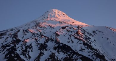
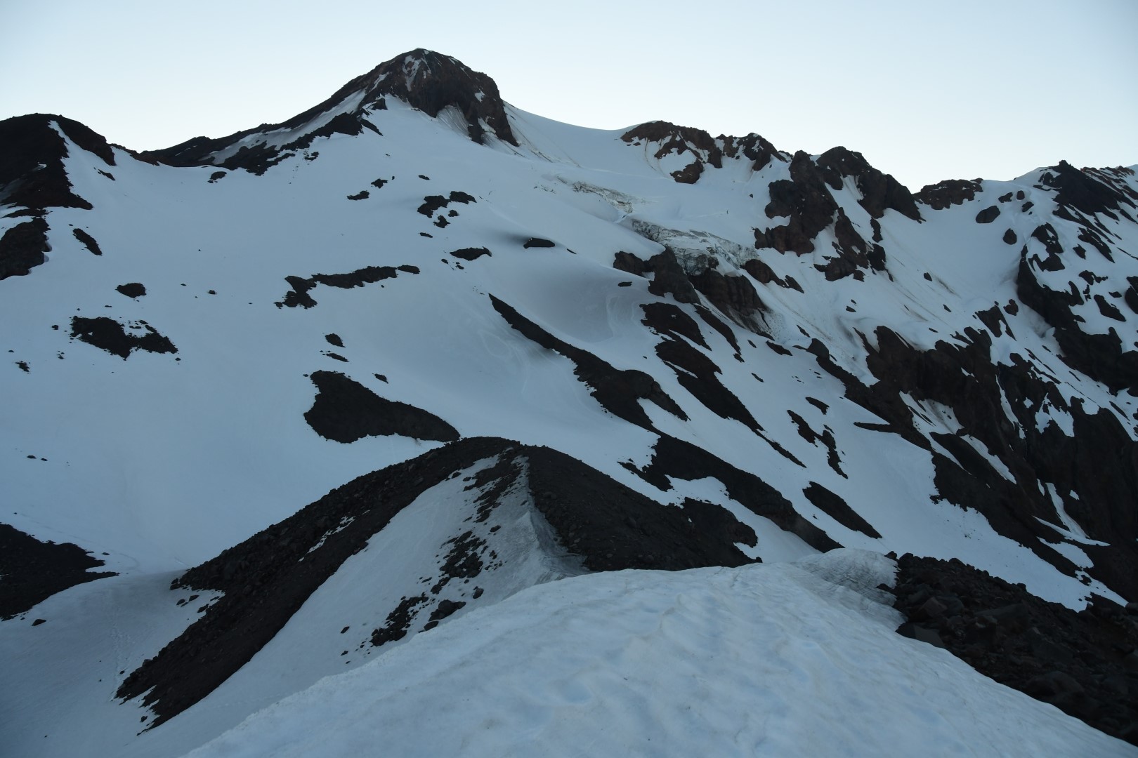
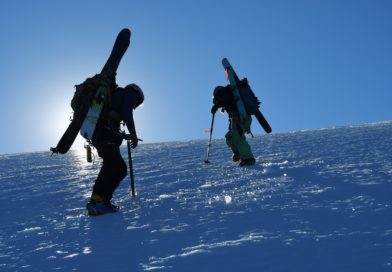
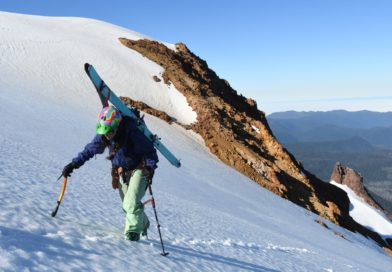
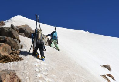
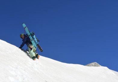
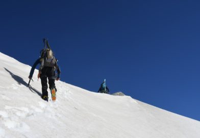
Climbing through native forest and finishing mostly over glaciated alpine Yate volcano is an adventure for experienced backcountry skiers looking for that extra mileage in southern Chile.
The approach to Yate starts nearly at sea level, at the town of Llaguepe, and more specifically, the house of Mr. Ramón Hernandéz.
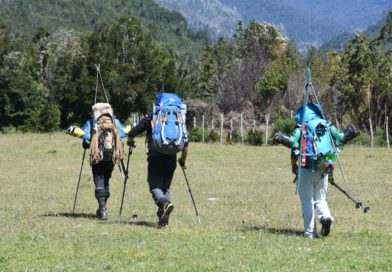
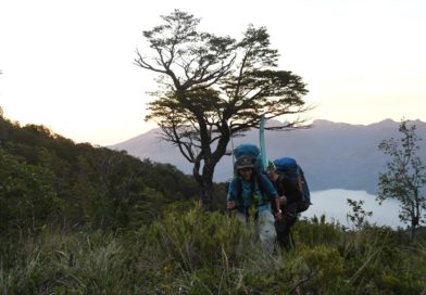
The route begins through open meadows, and after a little while, a steep trail will lead you up into the dense jungle. Stick closely to the coloured banners which mark the route, for it is extremely easy to get lost while gaining the first 400 metres of vertical relief.
Once in the wet forest, the trail is clear, yet littered with falled trees and branches. With skis on your back, this becomes a most daunting affair.
The trail then takes a turn, losing alitude. Here, the trail is mostly upon tree trunks.
Once out of the forest, a swampy clearing appears, which is usually base camp for an early morning summit push. There is a stream with clean glacial water.
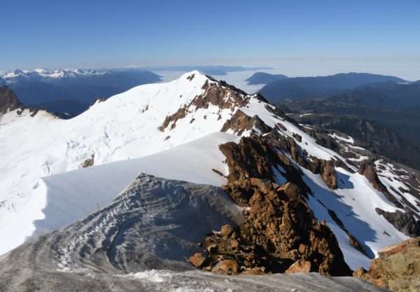
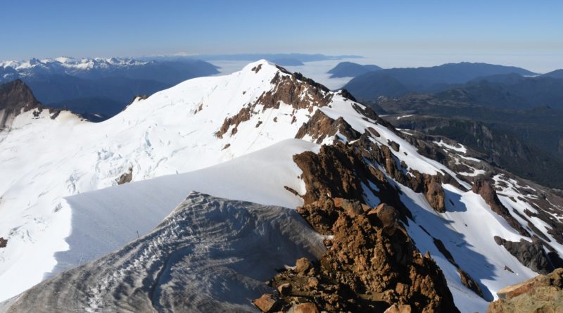
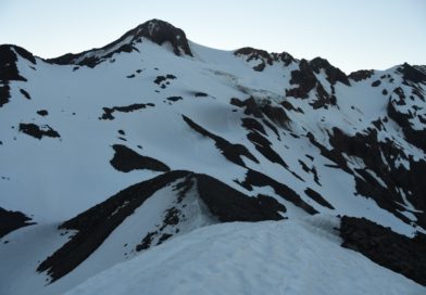
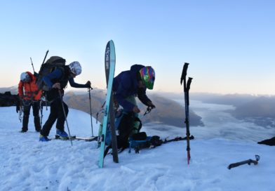
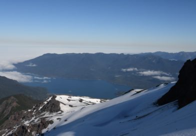
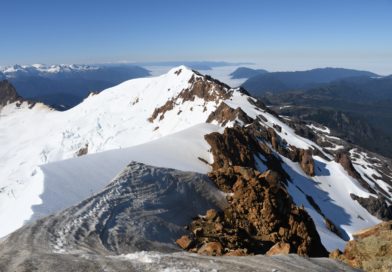
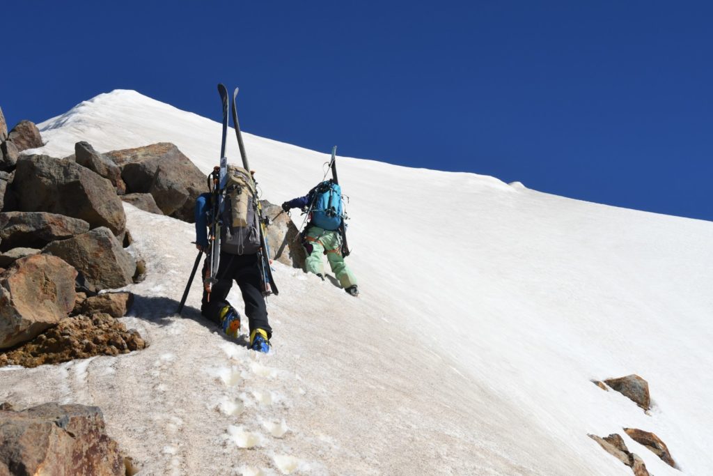
From base camp, one must follow a river bed which eventually leads outside the treeline and to a secondary peak, marked in the track. From this point, one must put ones harness and glacier gear in check, with a stellar view of the fjord and the island of Chiloé.
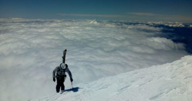
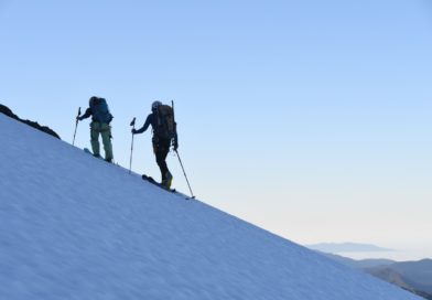
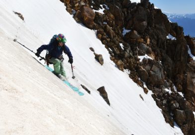
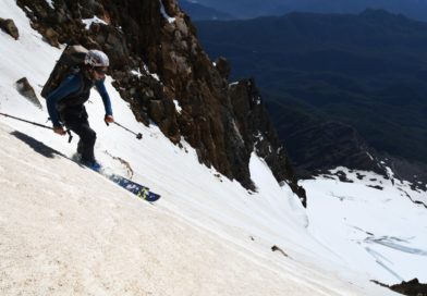
Skiing from the summit is possible, and depending on the time of year, could be a long or short descent (the author skied 600 meters of vertical descent during January 2019).
Highlights
– Stunning view to “Isla de Chiloé and “Estuario de Reloncaví” from the summit.
– The remoteness of this hidden route.
