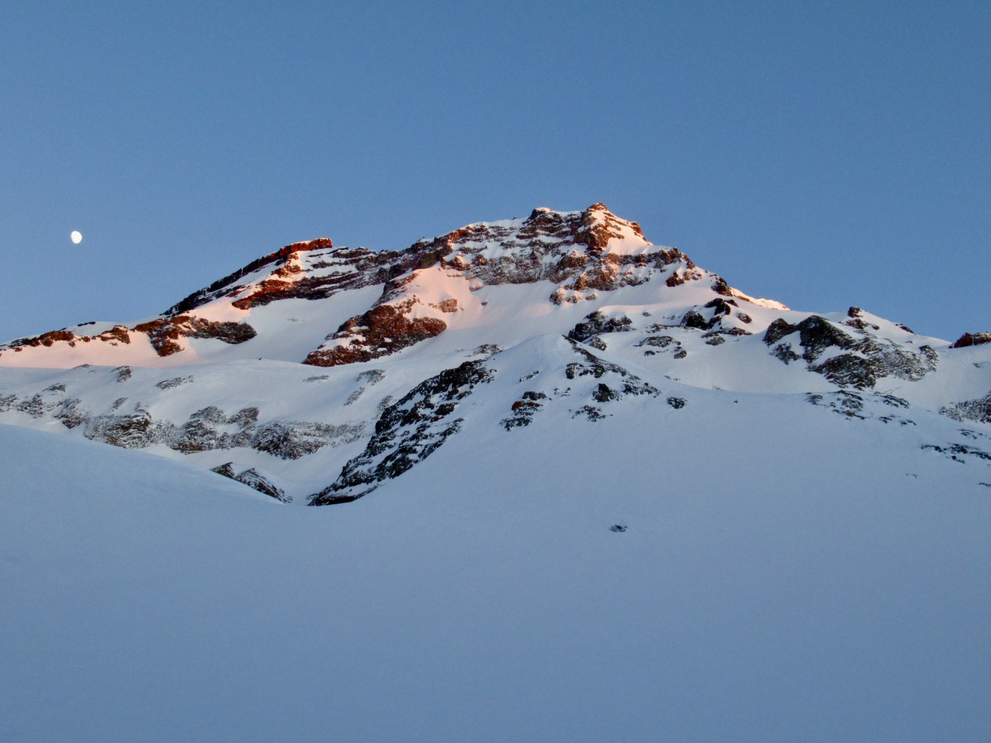
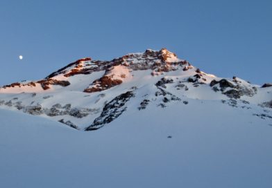
Tolhuaca Volcano From Laguna Blanca by @javier_embry
![]()
Tolhuaca Volcano From Laguna Blanca by Javier Embry

Check the original story from Javier’s blog.
Location:
Araucania, Malalcahuello
Elevation:
9206ft (2806m)
Lat/Long:
S -38.31512757146533, W -71.64864778518677
Vertical Skiing:
5905ft (1800m)
Route Duration:
Full Day
Volcanic Type:
Stratovolcano

Previous
Next
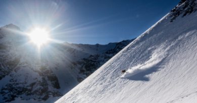
Tolhuaca is the “small” neighbor of Volcan Lonquimay, but is indeed a longer, more complex and much attractive excursion than Lonquimay. It will suit more to those who would like to spend more hours navigating and choosing the better option to go up. Also the downhill it’s a fun and enjoyable descent with moderate terrain.
From Curacautín drive towards Malalcahuello, just a few kilometers after leaving the town you will see a sign that says “Los Prados-Laguna Blanca”, take this road to the left. From then on the road will be no more asphalt. Drive the road until you see a rope crossing it. Here is important because to get into the area you may have to pay or not, because the entrance is a private area. If you don’t (which is usually in winter) just remove the rope, pass and then don’t forget to put it back. Now the road is a volcanic slag road and the use os a 4×4 car is mandatory. Drive until you see it’s not possible anymore (will depend on snow conditions mainly). The place marked as the beginning of the route is a good place to park a car.
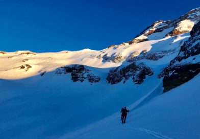
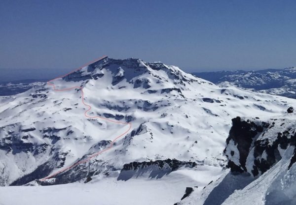
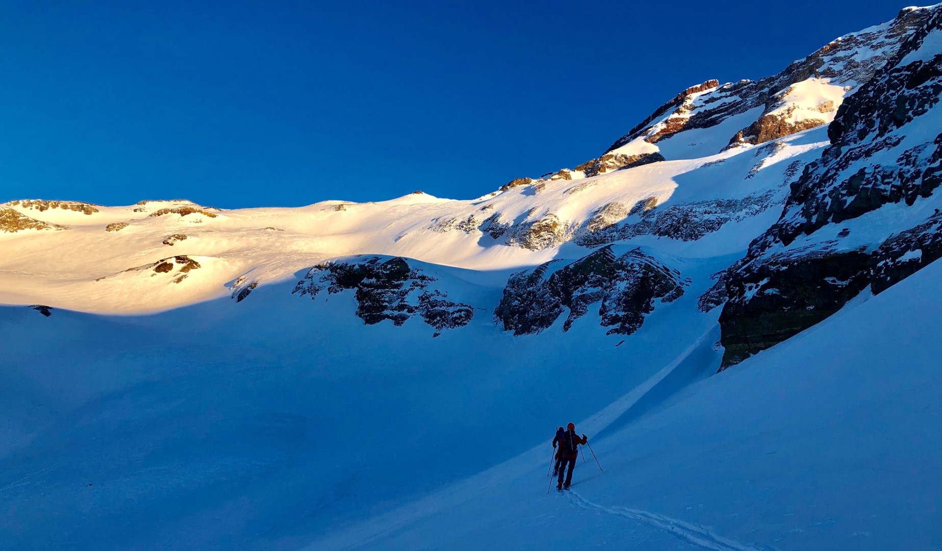
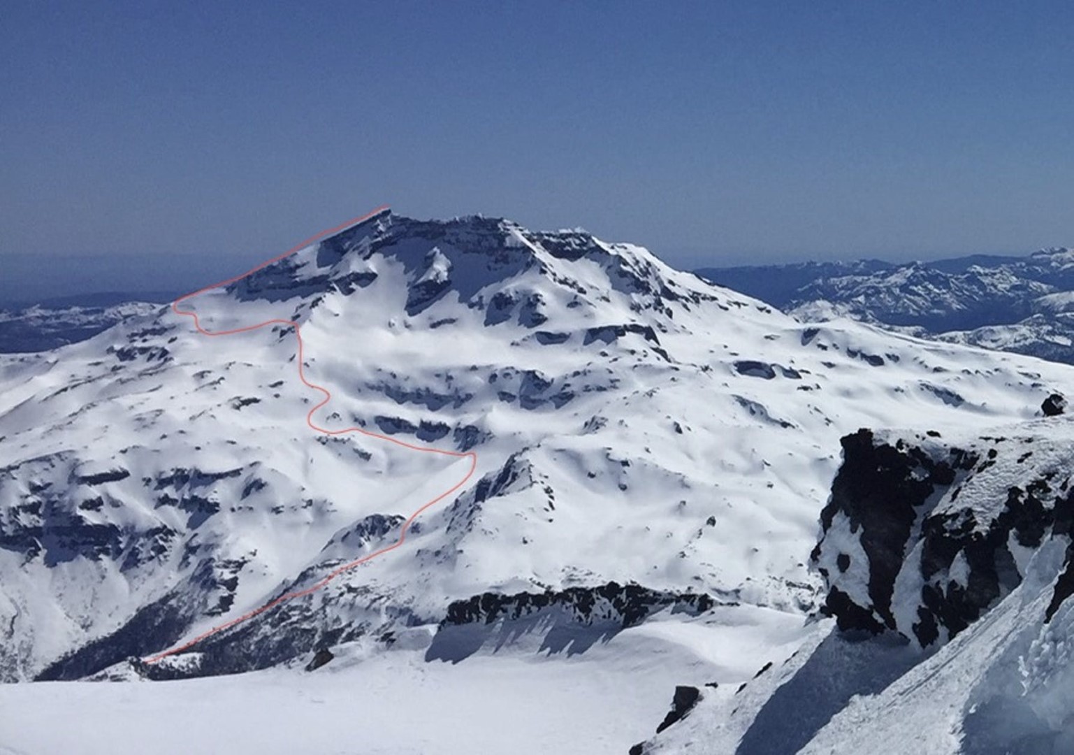
The skinning up goes first on the road. Once you get to a place where the route split, continue on the main road (left will take you to the Laguna Blanca). Continue for around one hour and a half until you get to and obvious ridge to the left, looking also the Laguna Blanca down and left on the valley. Here just get on it and look for a good place to set up your tent.
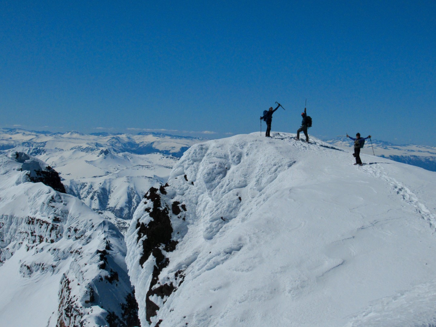
The ascent itself is mainly traversing the whole mountain from east to west.
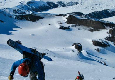
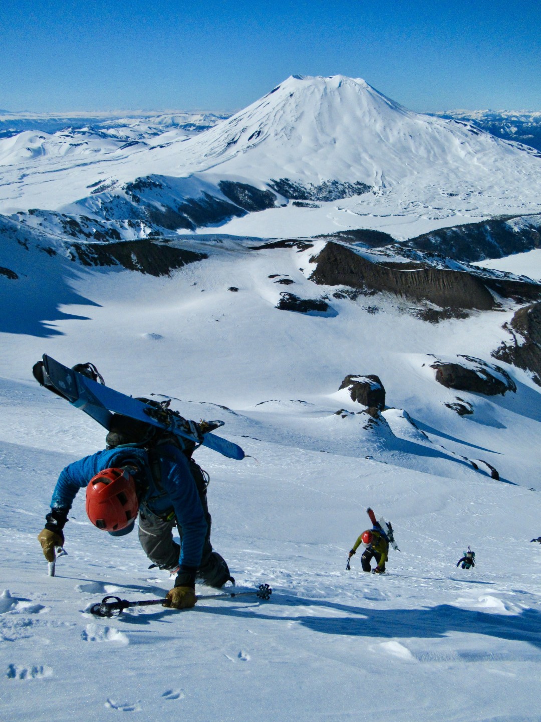
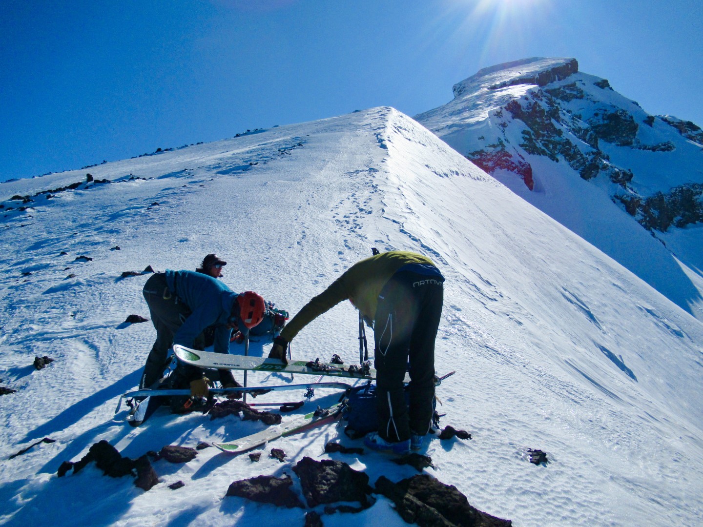
Here the navigation will be critical to mainly get under the rock band, which is the most expose place of the route, once you get there traverse it and after go up and west all the time until you get to a ridge. One there goes down (or traverse) and then up towards the southwest ridge of the mountain. Until here the use of skis is no problem, but as soon as you get close to the summit ridge the use of crampons and ice axe will be necessary because the climb of a short, but expose slope.
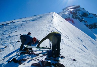
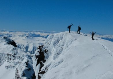
Once you are on the ridge is likely you will be using ice axe and crampons instead of skies.
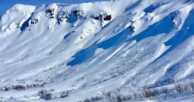
The route down is the same route up, so don’t expect a direct single ski. many traverse and a few enjoyable bowls will leave you back on the ridge that will take you back to the campsite.

Highlights
– Southern Andes conditions
– 80% chances that you will have to make some survival skiing turns